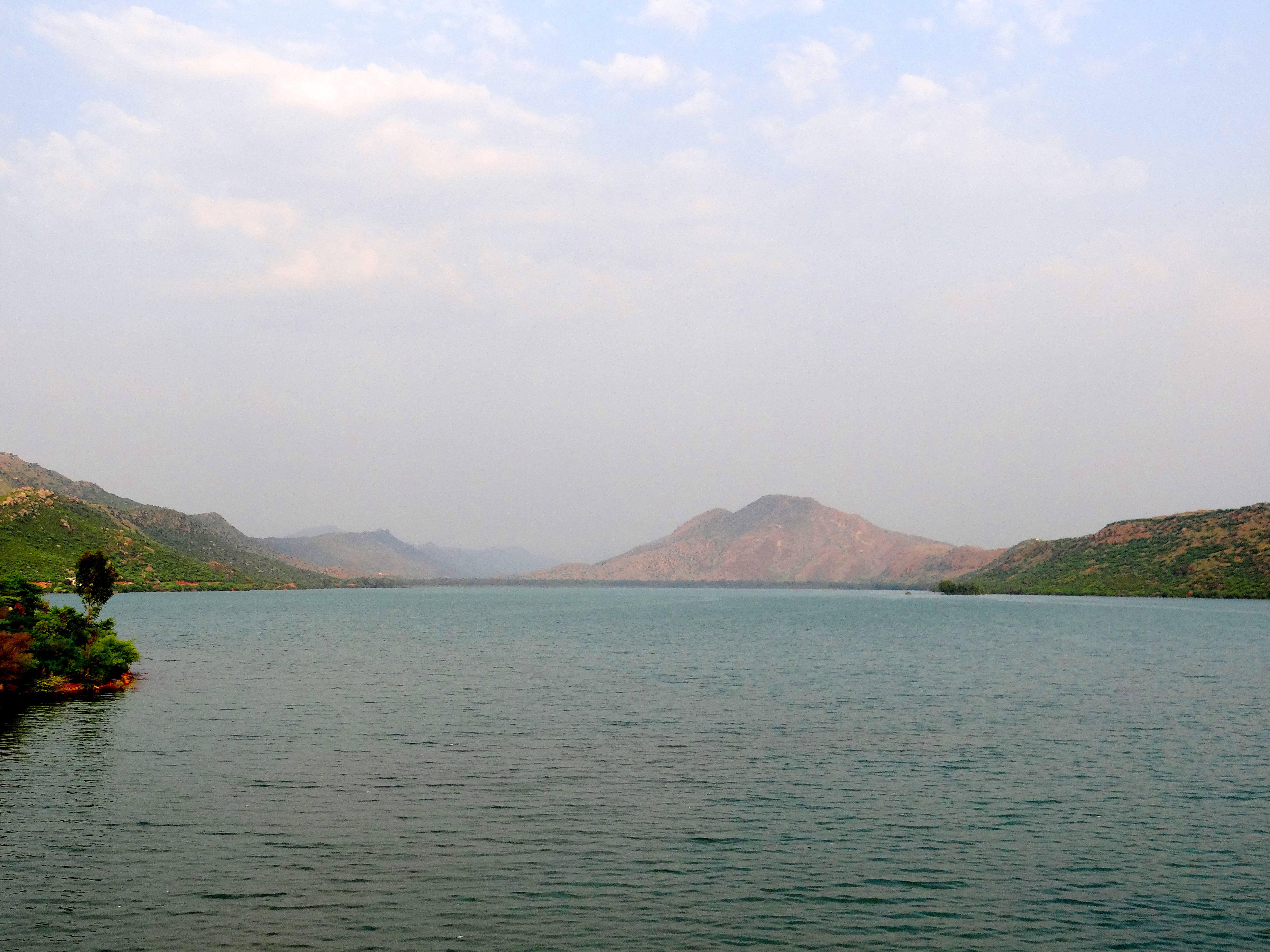
Small Dam & Lake
A freshwater lake set into the northern gorge. Residents come here in the late afternoon for walks, cool breezes, and quiet views of the water.
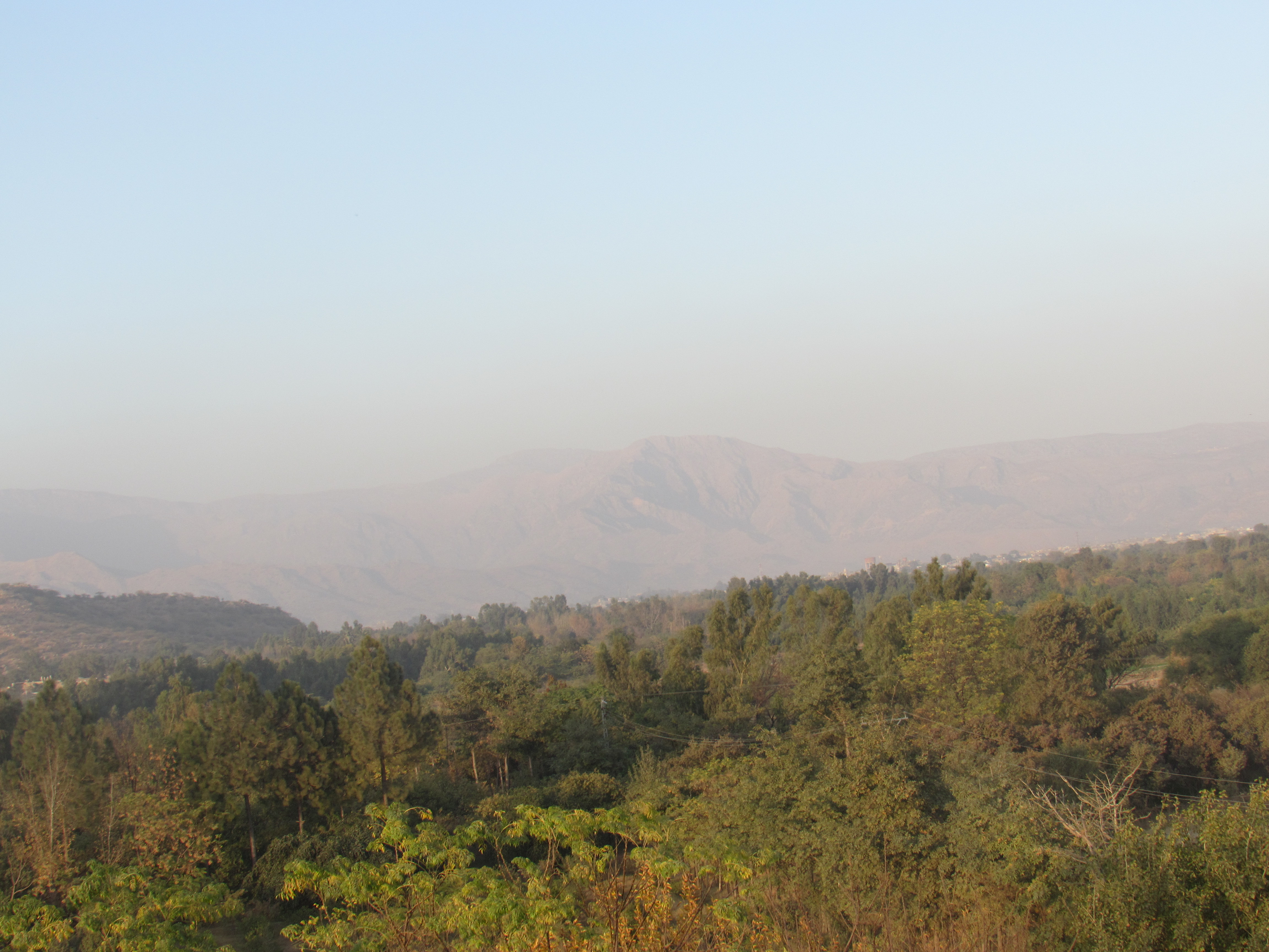
Twelve kilometers north of the highway at Doaba, Naryab sits in a quiet upland basin. The village is known for its mountain reservoir, canal fed apricot and plum orchards, stone houses, and warm welcomes.
A freshwater lake set into the northern gorge. Residents come here in the late afternoon for walks, cool breezes, and quiet views of the water.
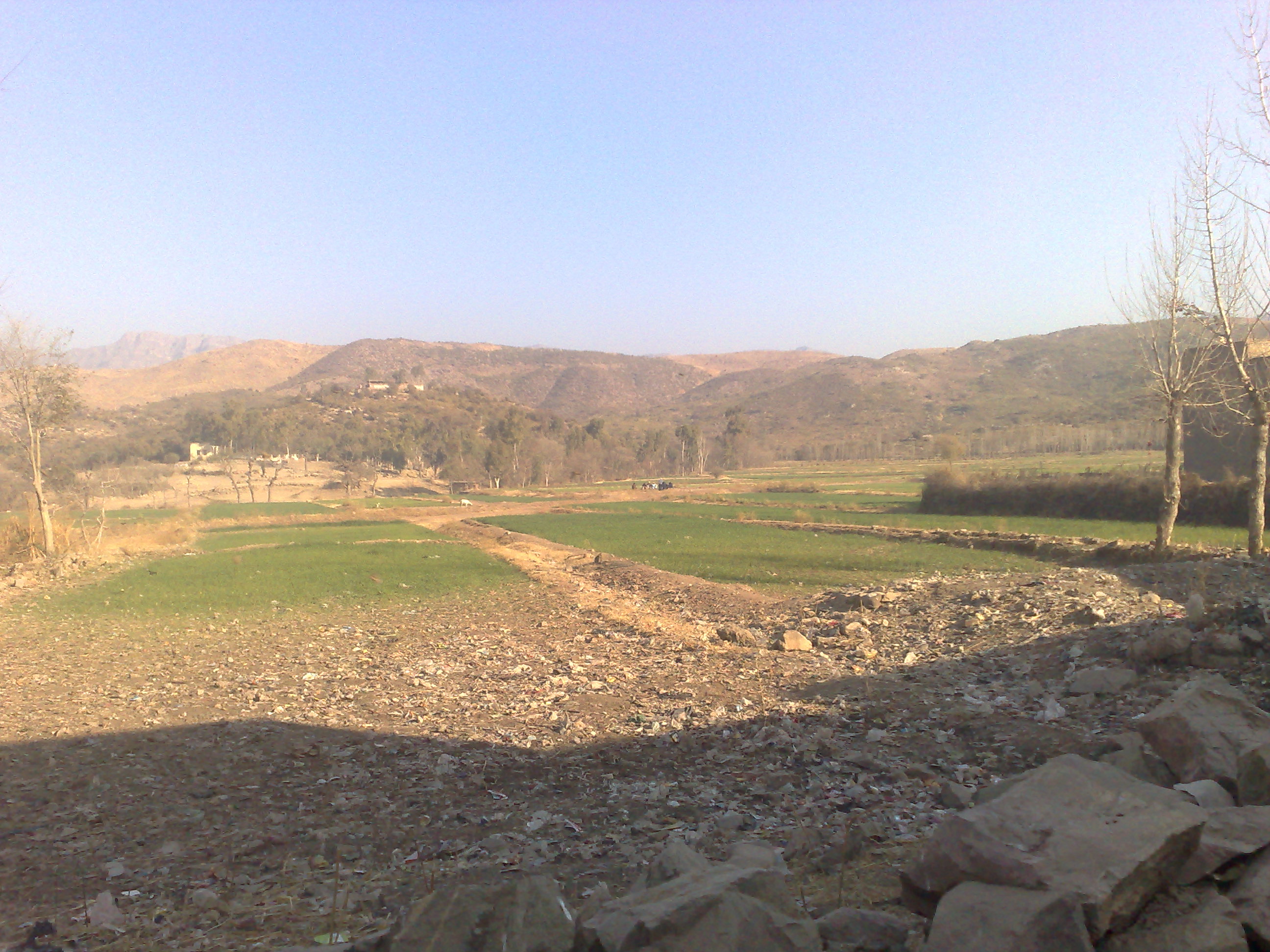
The upland path heading north toward Zargari. Open slopes offer clean mountain air, grazing paths, and clear views over the settlement.
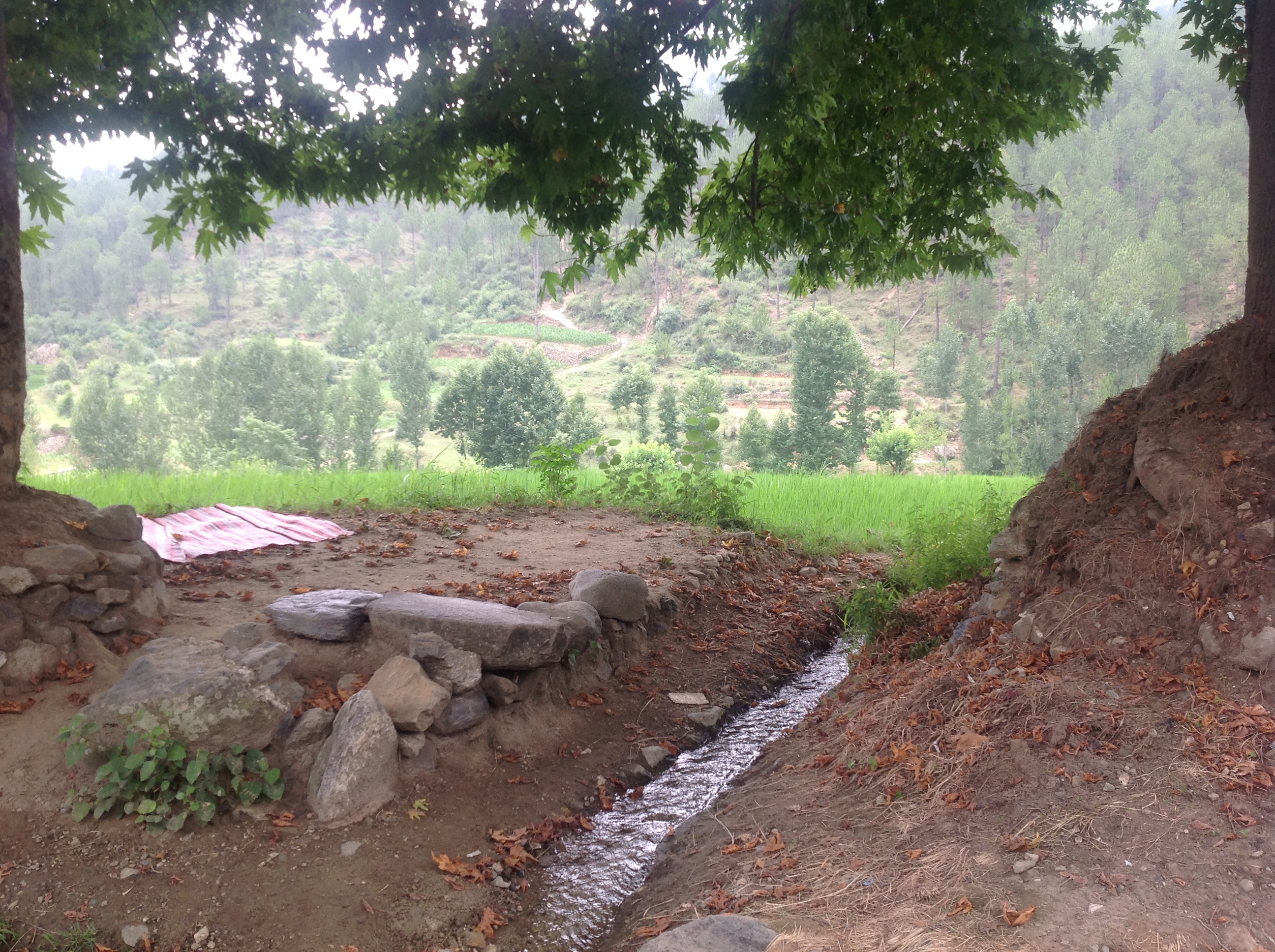
Stone family compounds built along the hill contours. Lanes link domestic courtyards with open guest rooms where visitors are welcomed.
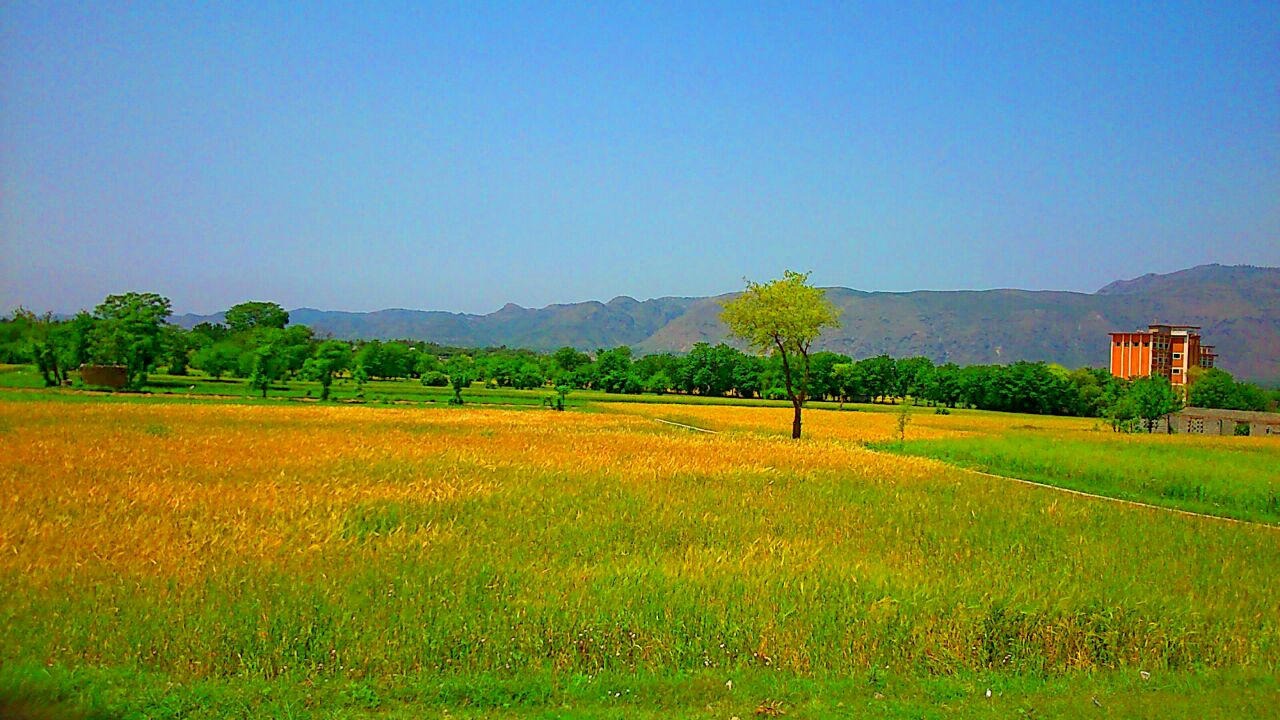
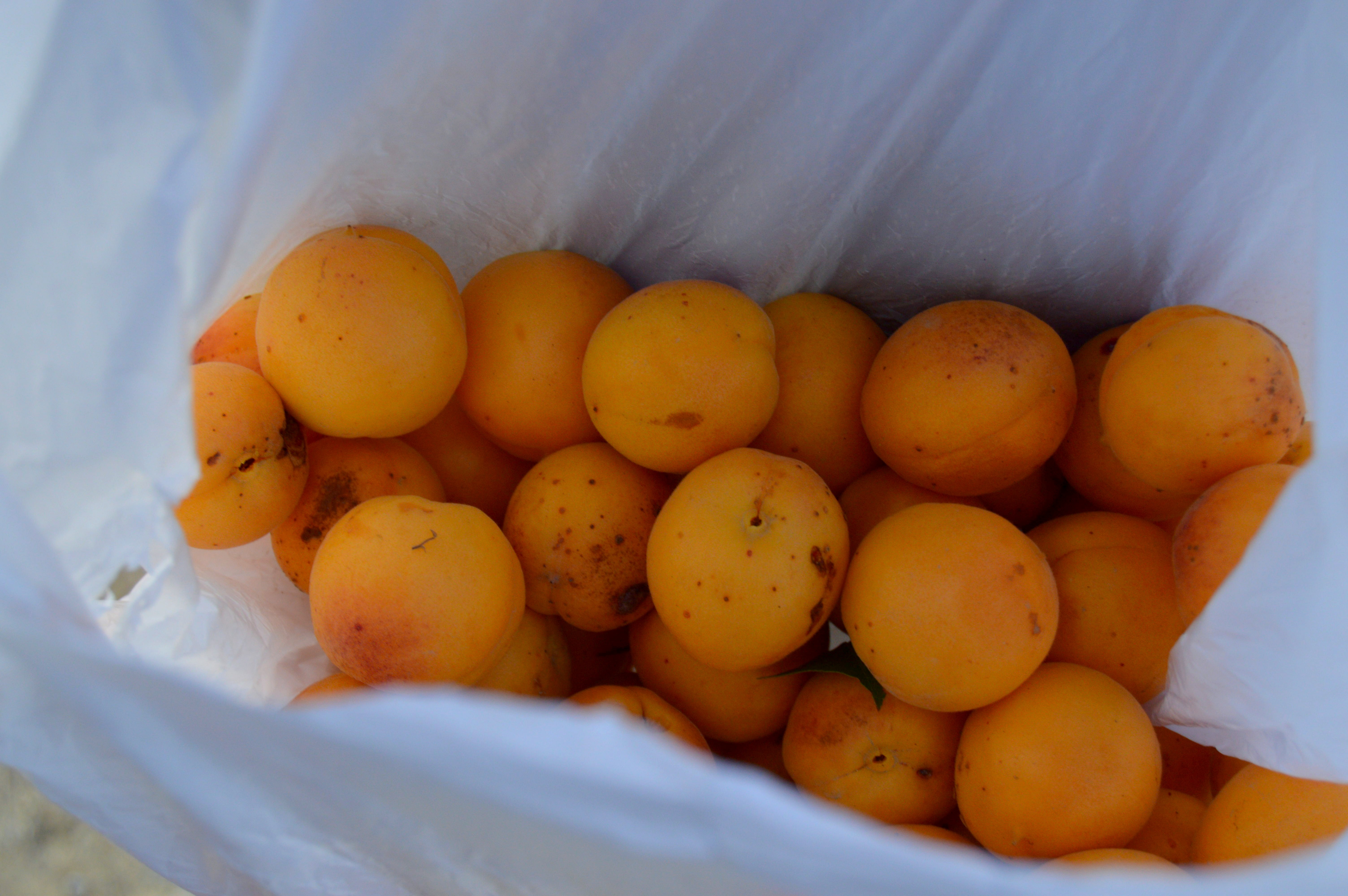
Terraces watered by narrow irrigation ditches. Apricots and plums ripen in early summer, following the winter wheat harvest in May.
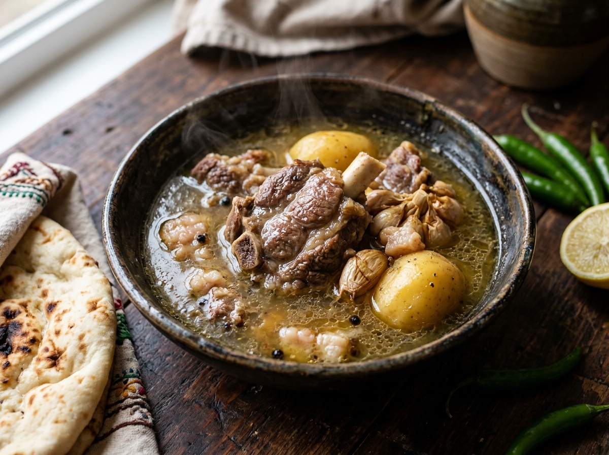
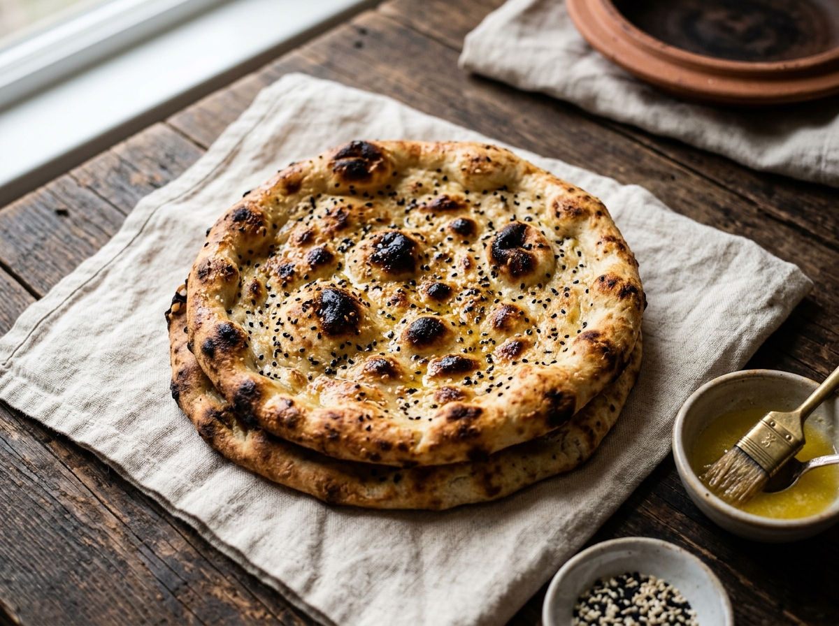
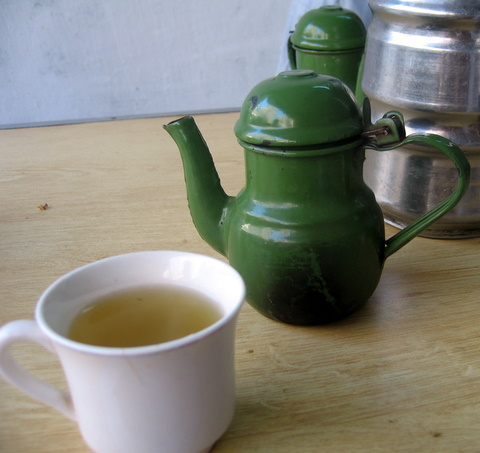
Under the Pashtunwali tradition of Melmastia, hospitality is an unwritten obligation. A traveler arriving in the village is invited to sit, share hot green tea brewed with cardamom, and eat bread freshly baked in an earthen tandoor.
In the evenings, men gather in the Hujra, the shared community hall where elders discuss village decisions, resolve local disagreements, and offer a place to rest for anyone passing through.
Turn north off the Kohat and Thall highway at the market town of Doaba. A paved link road climbs twelve kilometers through stony hills into Naryab bazaar.
Alongside its natural setting, the village deals with basic public service shortages: long daily power outages, stalled road repair funding from district gas royalties, and limited local medical staff.
Directions, seasonal temperatures, dress customs, and practical tips for visitors and researchers.