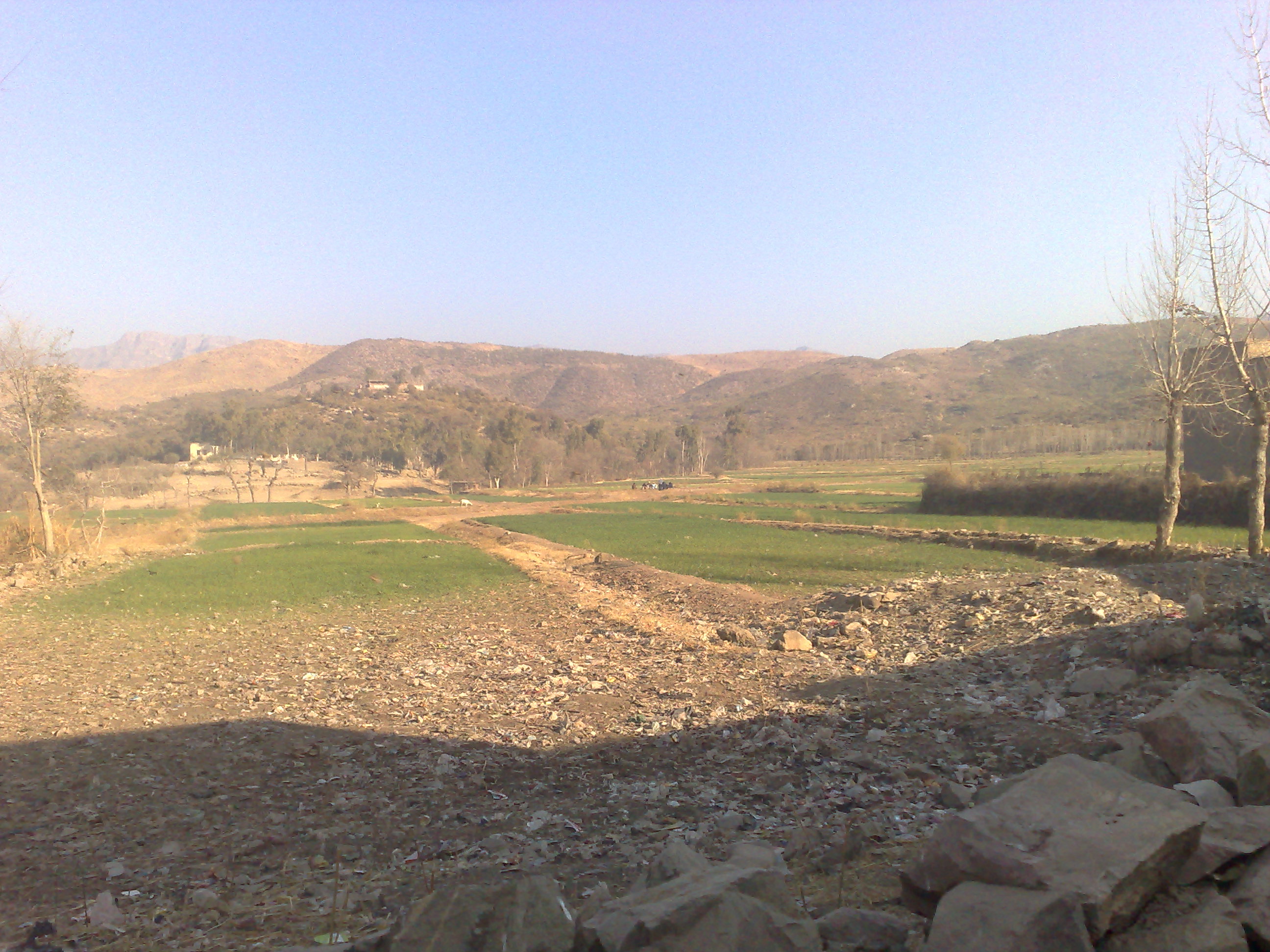
Spangir Trails & Ridge
The upland slope leading toward the northern pass to Zargari. Open grazing trails provide vantage points overlooking the entire valley basin.
Foot trails continue north into the hills.
The valley sits in an upland basin in Tehsil Thall, defined by its water reservoir, rocky slopes, cultivated terraces, and traditional stone compounds.
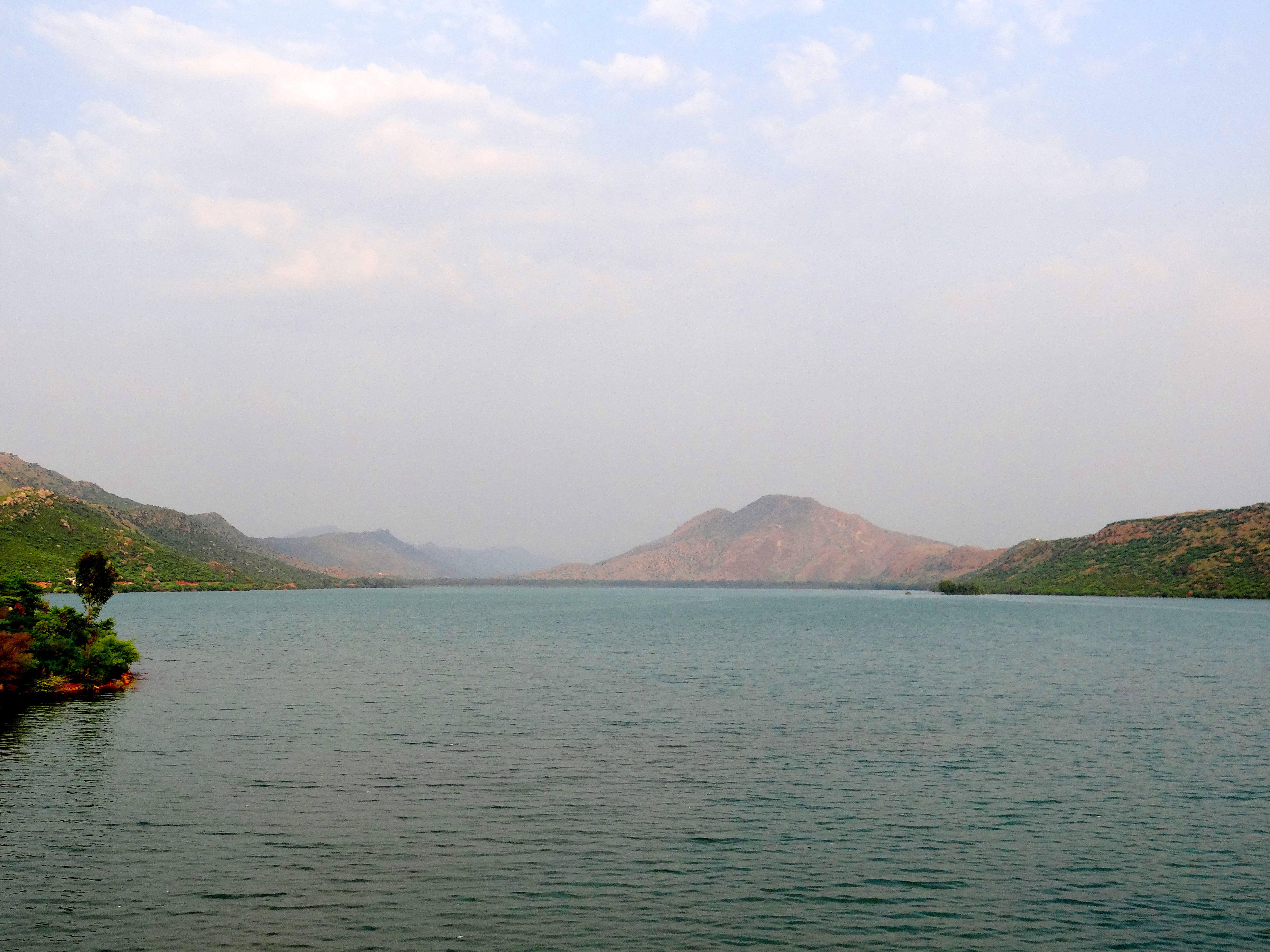
Built where northern mountain ravines converge, the reservoir catches seasonal runoff and spring flows. It supplies the gravity canals feeding downstream orchards and provides a gathering spot in the late afternoon.
The upland slope leading toward the northern pass to Zargari. Open grazing trails provide vantage points overlooking the entire valley basin.
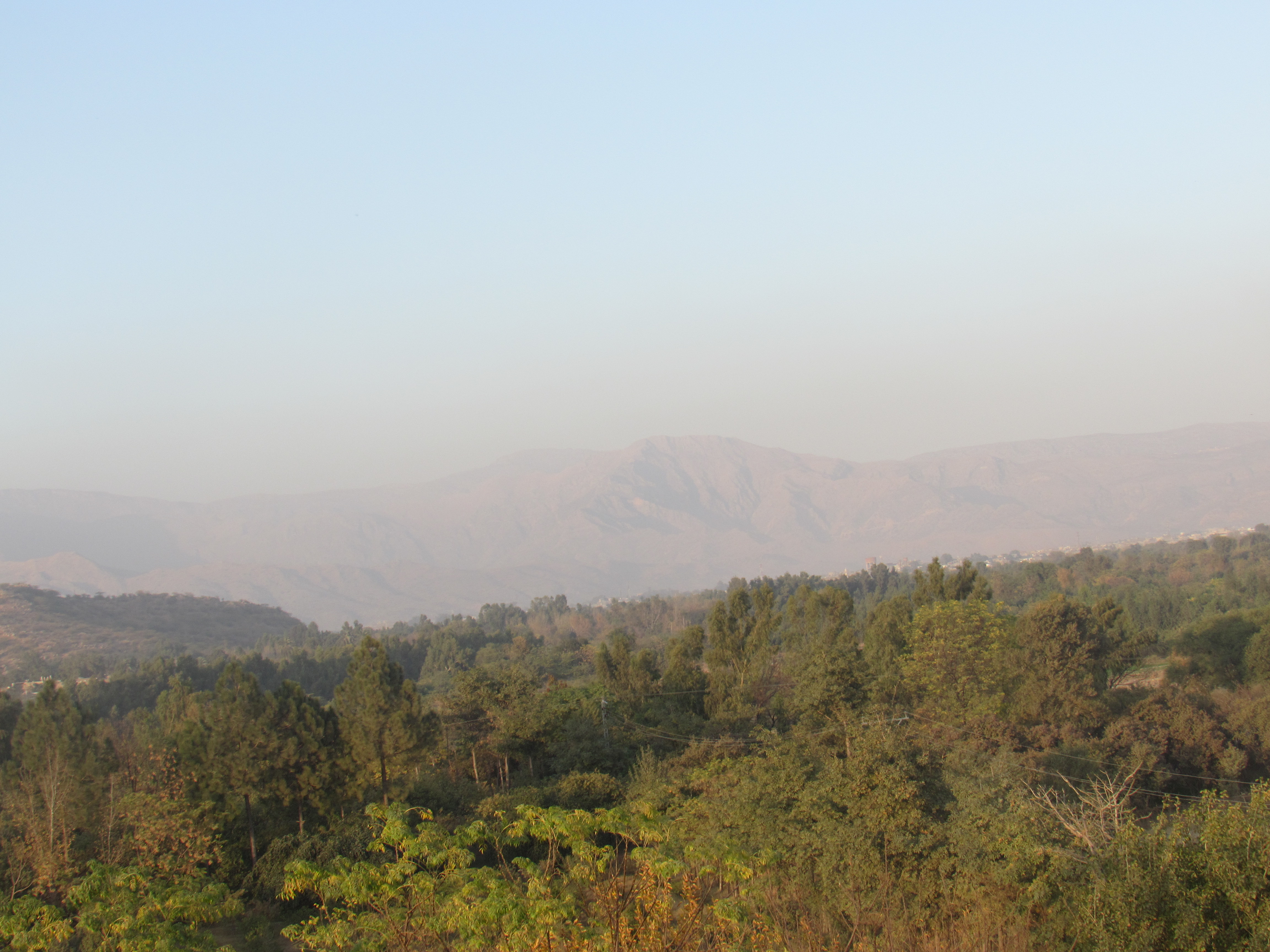
The rocky ridges enclosing Naryab consist of limestone, shale, and dry scrub, forming a natural boundary around the settled farmlands.
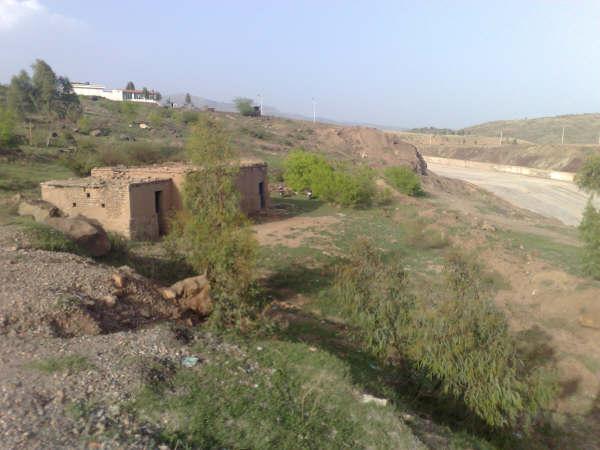
Terraced plots watered by gravity canals. In spring and early summer, fruit orchards and wheat parcels cover the floor of the valley.
Positioned nearest to the northern hills and dam gorge. Built on rising ground, this section contains older stone walled dwellings and immediate access to canal intake channels.
The civic and commercial meeting point of Naryab. Local shops sell tea, grains, tools, and household goods. Several family Hujras stand nearby.
The flatter ground south of the village center where irrigation water collects, holding the main concentration of wheat fields and plum orchards.
The main bazaar town on the Kohat to Thall highway where transport vans, fuel, and supplies are centered.
A neighboring settlement across the northern ridge line, linked by traditional foot and livestock tracks.
A farming village situated along the eastward route connecting the valley toward Hangu city.
A route through tighter gorges and stony passes with historic links into the Kurram basin.